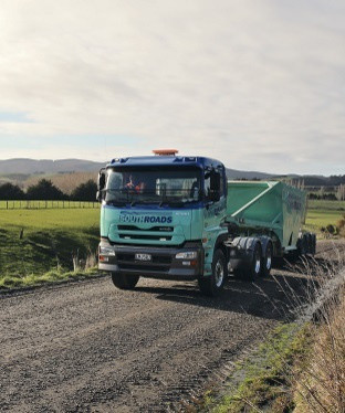
Rural
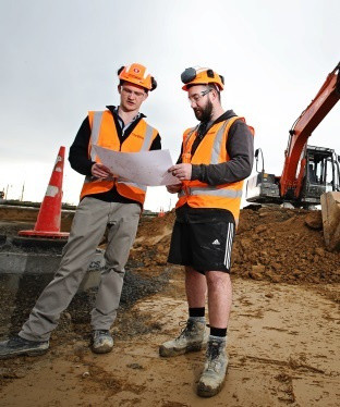
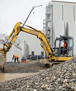
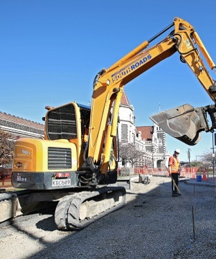
Supporting the Southland & Otago rural industries. Dairy & forestry sectors. Roading, bridges, building, earthworks, drainage, & aggregates.
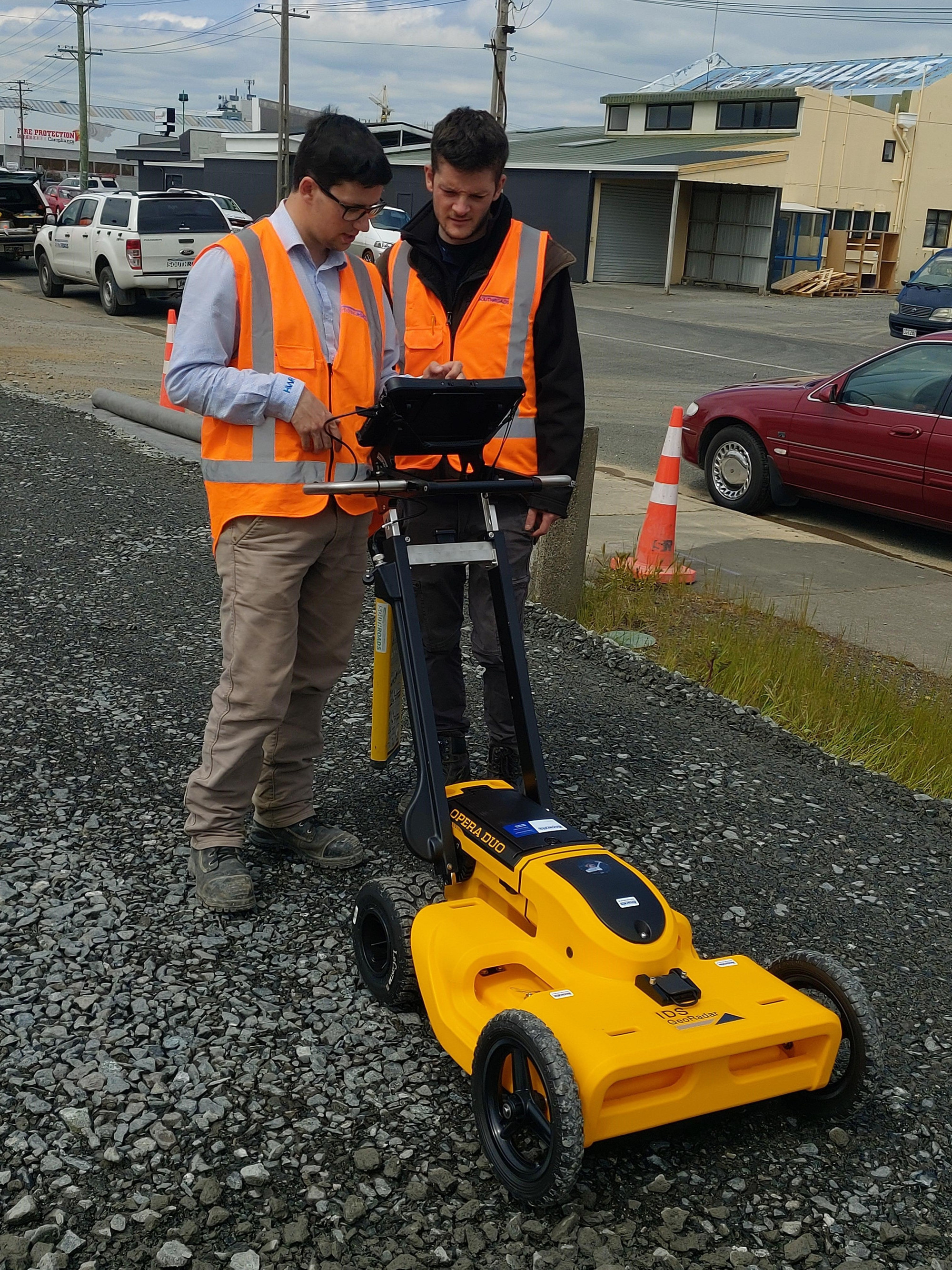
Your contractor of choice across Otago and Southland, we are your only local Ground Penetrating Radar in Southland and have certified staff for drones or Unmanned Aerial Vehicles (UAVs).
Achieve more with your site by obtaining up-to-date accurate data that is current, no matter the terrain.
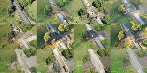
Drone or Unmanned Aerial Vehicles (UAVs) are the ideal tool for obtaining current data and information for your surveying and mapping project needs. UAV use is a no brainer for those hard-to-reach locations or unsafe sites such as quarries, steep or unstable slopes and erosion zones. You can also complete work in a fraction of the time on accessible land with a UAV, rather than using traditional on-ground methods.
UAV’s provide you with the correct information from the beginning so planning and execution of your project runs more smoothly, is more cost-effective long term and gives peace of mind from start to finish. Reach locations which are complex, dangerous or irregular and mitigate the risks where safety is an issue.
SouthRoads are Civil Aviation Authority (CAA) Part 102 Unmanned Aircraft certified.
Why is the CAA Certification important?
The Civil Aviation Authority governs the use of airspace and sets the rules for drone users. These rules include the requirement to obtain permission from every person the drone flies over, as well as the landowners.
SouthRoads pilots are leaders in their field and achieved CAA competency, this demonstrates they can operate drones safely.
Our CAA exposition allows us to operate over people and property without permission, as well as within certain restricted airspaces.
Aerial Mapping Services:
• Construction Progress
• Quarries
• Surveying
• Construction Progress
• Land Development
• Site Planning
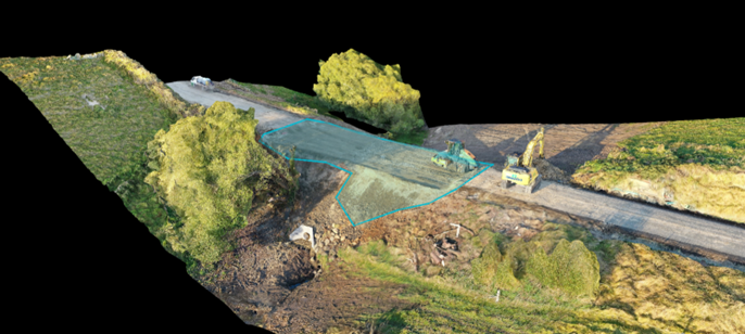
• Volumetric Data Gathering
• Terrain Elevation Mapping
• Environmental Monitoring including erosion monitoring
• Agricultural Inspection/including farm mapping and crop health
• Drainage Evaluation
• Vertical Mapping
• 3D Models
For survey grade results, with both high relative accuracy and absolute accuracy, the maps can be tied to ground control points with RTK GNSS equipment using rover/base station setups. This is well complimented by our experienced in-house survey team.
We can also provide:
Asset Inspections Services:
• Thermal Imagery
• Road Inspections
• Structure inspections including bridges.
• Roof Inspections
• Damage Assessments
Other Services:
We have also worked with NZ Police, FENZ, and Search and Rescue.
We also use collaborative software to be able to share project information easily. All our services are complimented by providing most types of file formats. Please contact us for more details.
Organisation Member of Nulca.
Get better peace of mind and a more accurate picture of your project with SouthRoads.
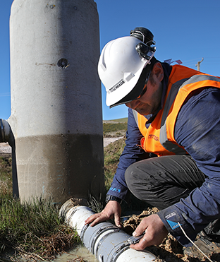
With almost 30 years of experience in Otago and Southland, SouthRoads offers Ground Penetrating Radar (GPR) services, used mostly for locating underground services in a non-invasive way. Find pipes and other underground utilities before groundwork takes place. Often used by schools, airports, universities, and commercial businesses, GPR minimises the risk of damaging gas pipes, stormwater or water pipes during groundworks, limiting the impact and disruption to your project and the community. GPR ensures information from the sub-surface is located accurately, taking out the guesswork and not relying on sometimes inaccurate title files or site records.
Ground Penetrating Radar (GPR) applications include: